
South Brunswick Neighbors by Block
South Brunswick neighbors are most clearly approached as nearby parcels, then as records connected to those parcels. The county GIS layer supplies parcel geometry and selected tax information. Township tax maps supply the block-and-lot pattern. The proof book separates owner mailing information from the street location. A deed index can verify the title trail. None of those systems is a complete list of occupants, and the voter system is limited to a checked individual rather than a block list.
| Source | What It Shows About a Block | Access |
|---|---|---|
| Middlesex GIS parcel layer | Touching parcels, road geometry, PIN, block and lot, address, class, sales and deed fields | Public map and REST layer, updated monthly |
| South Brunswick tax maps | Street names, map sheets, parcel shapes, and block-and-lot pattern | 205 map sheets, Planning or assessor clarification |
| Annual tax proof book | Owner, mailing address, situs, ZIP, class, and assessment row for a parcel | Public PDF or assessor counter |
| Middlesex County deed index | Ownership sequence and legal description | Free online search, then books or microfilm for older records |
| NJ Voter Search | Status for one queried voter, not a block roster | Individual confirmation; protected addresses withheld |
| OPRA request | Specified permits, code matters, public lists, or meeting records | Correct custodian and a focused request |
Start with a specific street number and preserve the map identifiers as you go. If the owner’s mailing line differs from the situs, it may reflect a trustee, company, post-office box, public owner, or address elsewhere. It is not evidence that the owner occupies the South Brunswick parcel. The same caution applies when a property is exempt or has a mailing line that matches the parcel.
Map South Brunswick Neighbors
Use the Middlesex public parcel layer as a map-first workflow. Locate the target parcel, click it, and record its PIN, block, lot, and the map scale. Then select polygons that share a boundary or pan along the street segment. The layer supports query-with-distance, spatial queries, pagination, and standardized queries, so an experienced GIS user can run a small radius query. For normal block research, map-clicking the adjoining polygons is the documented, readable method.
- Find the target address and inspect the selected parcel’s popup or row.
- Record PAMS_PIN, municipality, block, lot, situs, and the scale used for the map view.
- Click the polygons that touch the target parcel, or pan to the immediately adjoining street segment.
- Compare the target and adjoining rows, then carry any deed book and page to the County Clerk for a record check.
This produces a bounded picture of parcels around an address. A full road-by-road address chain belongs in the South Brunswick street directory, where the same identifiers can be followed beyond the immediate block.
South Brunswick Neighbors GIS Fields
The parcel layer is updated monthly as municipalities update MOD-IV data. Its geometry is the starting point, but the fields make comparison possible. Use the bridge identifiers first, then review location, ownership-address, sale, and land details. The result should be dated, because a monthly GIS update is not a substitute for a current deed or for a title determination.
| Field group | South Brunswick block comparison |
|---|---|
| Parcel bridge | PAMS_PIN, MUN, BLOCK, and LOT identify the parcel across map, tax, and deed work. |
| Location and mail | PropLoc, OwnerAddr1, OwnerAddr2, and ZipCode keep the situs and owner-mailing fields distinct. |
| Transfer trail | SalesDate, DeedBook, and DeedPage point toward a County Clerk search. |
| Parcel character | PropClass, LandDesc, Acreage, YearBuilt, and SFLA describe the property, not its full household. |
| Freshness | LASTUPDATE and LastUpdate_M4 help identify the map-data snapshot. |
Other available layer fields include QCODE, UNIQUEID, old block and lot values, additional-lot fields, special-tax codes, and sale price. Owner-name display can be restricted for covered people under Daniel’s Law. A null, redacted, or dated field is not a reason to infer a person’s location from another source.
Note: The service returns up to 2,000 records per request, so use a small area or direct parcel identifiers instead of a township-wide query.
South Brunswick Neighbors Deed Check
After the map, use Middlesex BrowserView to confirm an ownership record. It offers search modes for party name, instrument number, book and page, town, lot and block, legal description, map number, parcel ID, date range, consideration, and document type. A party-name field expects the last name followed by the first name without a comma. The county advises searchers to try spelling variations, which is especially useful when a common name produces a long result set.
The current land-record page explicitly states online deeds from 1929, while the county’s 2022 announcement describes a digitization milestone back to 1923. Treat those as different statements and verify a particular older year with the Clerk. When the online path ends, the County Clerk’s public search room, older books, and microfilm remain the bridge. The GIS layer itself has no deed image attachment and is not an authoritative title record.
South Brunswick Neighbors Geography
The official township neighborhood map is a location aid. It labels Nassau Square, Brunswick Acres, Dublin Park, Woodland Estates, Timber Ponds, Beechwoods Park, Royal Oaks, Irish Brook Estates, Davidson’s Mill Pond, Village of Deans, Deans Pond Crossing, Pigeon Swamp, Estates at Dunhams Farms, High Gate, Kendall Park, Woodgate, Woodlot Park, Princewood, Princeton Manor, Princeton Walk, Preserve at Princeton Walk, Woods at Princeton Walk, Princeton Courtside Estates, Greater Kingston, Kingston Village, Cook Natural Area, Mapleton Preserve, and Villagio.
Those labels help distinguish a map location from a mailing city or an old road reference. They do not establish a formal association, an HOA, a membership list, or a resident roster. South Brunswick’s broader record geography also changed after Cranbury boundary changes in 1872 and 1885 and Plainsboro’s separation in 1919. Older deeds, directories, or census work may use a different township context, village, or post-office term.
South Brunswick Neighbors Voter Limits
NJ Voter Search confirms an individual voter record using first name, last name, date of birth, county, and city. It is not a way to list all voters on a street or block. The located state pages do not provide a public all-voters-on-a-street tool. Full voter-file access and any participation fields require a request to the county or state under the applicable rules, and a precise public availability or fee for that full file was not located.
Protected voters, Address Confidentiality Program participants, and Daniel’s Law covered people may have substitute or hidden addresses. For that reason, a name found in a property record should never be backfilled into a block voter list. The better use of the voter form is a narrow registration confirmation after the person and address question has been independently defined.
South Brunswick Neighbor Connections
Community connections are voluntary, not a public roster. South Brunswick Police Community Policing organizes Neighborhood Watch groups and holds crime-prevention meetings with neighborhood associations. It provides a route to connect with or form a group, but the official material does not publish members. The township map’s community names should not be treated as names of organizations or proof that any given block has a formal association.
South Brunswick Police Community Policing
Route for Neighborhood Watch formation, community-safety programs, and association meeting connections. The official source does not provide a public participant list.
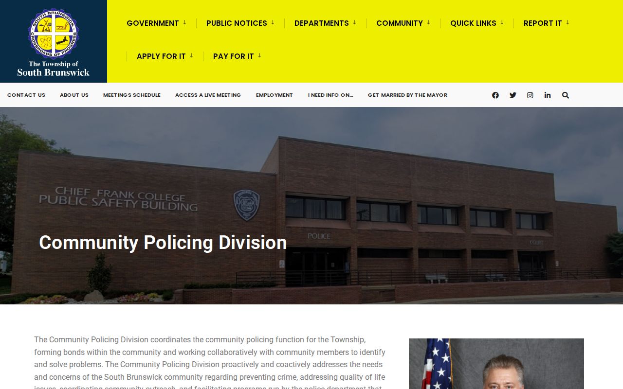
The Community Policing page documents the local program and its Neighborhood Watch connection.
Library local-history collections, voluntary civic groups, and neighborhood meetings can add context only when people choose to participate. No verified official HOA inventory, umbrella organization, or membership-directory policy was located, so none should be inferred from the neighborhood-map labels.
South Brunswick Neighbors OPRA Requests
For a public block record that is not online, ask for a defined record from the right custodian. A targeted request might identify an address or block and lot, date span, record type, and fields needed for a permit, code case, or public meeting record. The municipal Building and Planning offices are more likely to hold permit or zoning material than a general directory counter. Do not request a broad list of people when the actual question is about a specific public record.
The South Brunswick OPRA request process follows the New Jersey Open Public Records Act, which normally requires an available-record response as soon as possible and no later than seven business days. Commercial-purpose requests and Daniel’s Law review can take 14 business days with notice. Electronic copies are generally free, while standard letter and legal paper copies are five and seven cents. A request sent to the wrong employee does not count as received until it reaches the records custodian who holds the material.
Note: An address, date range, and selected fields give the custodian a record request that can be answered and reviewed.
South Brunswick Neighbor Privacy Limits
Official parcel and tax records are useful for a defined property question. A private compiled profile may combine older property, court, phone, and marketing information, but it can be stale, duplicate a same-name person, or miss later corrections. The official record is tied to a named custodian, a field set, and an update path. Neither category is a complete account of who resides on a block.
| Official parcel and public record | Private compiled profile |
|---|---|
| Shows the limited fields released by the relevant custodian, with identifiable source and update process. | May combine records from differing dates and sources, with no guarantee of a current parcel or person match. |
Other household members are not a public parcel field. Utility customer data is not a resident roll. ACP protections, Daniel’s Law redactions, protected voter street addresses, and federal Driver’s Privacy Protection Act limits are intentional safeguards, not gaps to work around.
Lawful use. Information about South Brunswick neighbors is for limited, lawful personal research and community connection. Using it to stalk, harass, threaten, or intimidate another person is prohibited.